Where We Work
Deschutes National Forest

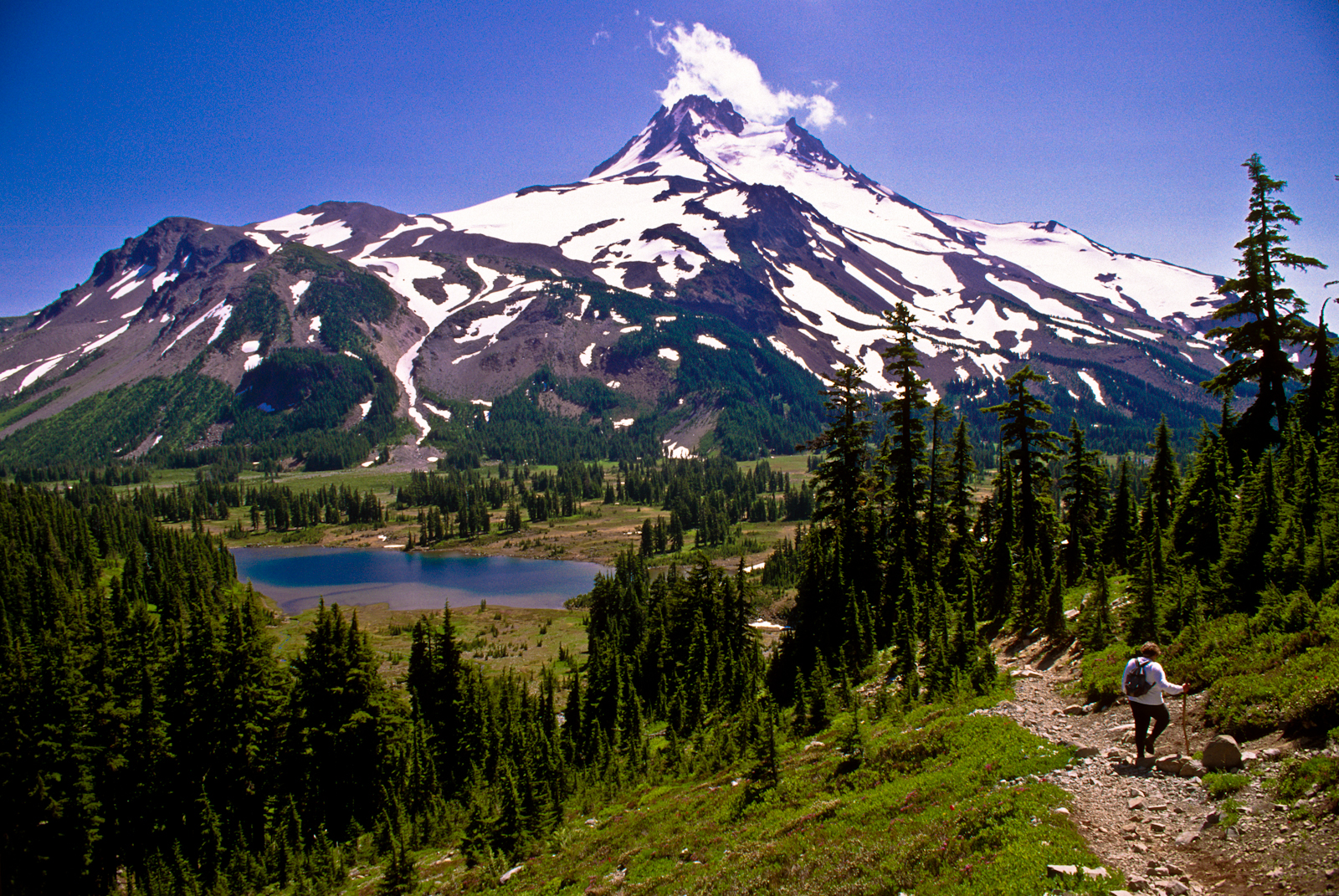
The Deschutes National Forest encompasses 1.6 million acres ranging from the Cascade Mountains to the high desert. The Forest is one of 19 national forests in the Pacific Northwest Region. The Forest lands fall into Deschutes, Jefferson, Klamath and Lake Counties and has four wilderness areas as well as the Newberry National Volcanic Monument.
The Deschutes has 94 family campgrounds, six group campgrounds, and other recreation sites. In addition, there are 13 resorts, marinas and stores, and a large number of summer homes. Attractions including 215 lakes and reservoirs, 617 miles of streams provide fishing and boating, winter sports, and thousands of acres of magnificent scenery. Current recreation use places the Deschutes among the top five forests in the nation as a place to visit.
Mt. Bachelor ski area is located on the National Forest 20 miles west of Bend. The ski area serves nearly a million people who recreate here each winter. Facilities are provided for both downhill and cross country skiing. Throughout the Deschutes there are a number of trails marked for snowmobiling and cross country skiing.
In November of 1990, Newberry National Volcanic Monument was created, within the boundaries of Deschutes National Forest, by an act of the 101st Congress, and signed into law by President George H. W. Bush. Over 54,000 acres were set aside and the area was designated a national treasure. The Monument is defined by the Newberry Caldera at the top of Newberry Volcano and a wide swath of landscape flowing down the northwest flank of the volcano 4,000 feet to the Deschutes River. Managed by the U.S. Forest Service, this monument provides a unique opportunity to view the volcanic lands of central Oregon.
Containing the widest variety of volcanic features of any National Park or Monument, Newberry includes numerous wonders such as Lava Butte, Lava Cast Forest, Lava River Cave, the Big Obsidian Flow, Paulina Falls, Paulina Peak and two caldera lakes. Newberry Volcano has been a special place to changing communities of people for ten thousand years. Its natural history is still being written by geologists researching and studying its numerous obsidian flows, vents, pumice cones, and hidden pockets of magma. Its cultural history is constantly being told and retold by the discovery of artifacts used for hunting and trading throughout the area. Hunters and gatherers still abound in the form of fishermen pulling kokanee, brown trout, rainbow trout, and Atlantic salmon from the two lakes found in the caldera. A new breed of explorer continues to traverse this volcanic landscape on trails that follow shorelines; cross fields of obsidian, and climb to the caldera rim. Each winter draws adventure seekers who glide across the snow-covered terrain on cross-country skis or snowmobiles. This volcanic sleeping giant continues to command respect from those who come to visit and especially from those who want to preserve and protect this place for future generations.
Newberry National Volcanic Monument includes 50,000+ acres of lakes, lava flows, and spectacular geologic features in central Oregon. The highest point within the Monument is the summit Paulina Peak (7,985 ft.), showcasing views of the Oregon Cascades and across the High Desert.
Round a bend to find Mount Bachelor looming larger than life—and find its image perfectly reflected in a mile-high lake around another bend—and you’ll understand why Scenic America named the Cascade Lakes Scenic Byway one of the nation’s most important byways. The Byway passes through the heart of central Oregon, with the towering Cascade Mountains providing a constant backdrop for a recreational paradise that offers first class fishing, boating, hiking, rock climbing opportunities and wonderful alpine and Nordic skiing in the winter. The mountains provide practical as well as scenic pleasures; they block moist air from the Pacific, giving this region as many as 250 sunny days a year!
You’ll pass along the shores of the renowned Deschutes River and a dozen lakes, as well as many noteworthy geological formations hewn by glacial and volcanic activity. Several old-time lakeside resorts offer respite from the road in the form of an ice cream cone or a comfortable room. Campers will find a bounty of excellent campgrounds.
Major peaks are: the North, Middle, and South Sisters (all above 10,000′), along with Broken Top, the best example in the Pacific Northwest of the effect of glaciation. Collier Glacier is the largest glacier in Oregon. Other geologic features include Rock Mesa, Collier Cone, and Yapoah Crater. Alpine meadows, waterfalls, lava fields, glaciers, and glacial lakes are abundant. Fish populations include brook and rainbow trout.
Three Sisters Wilderness area covers 286,708 total acres. There are approximately 260 miles of trail within the wilderness. The Pacific Crest National Scenic Trail traverses the wilderness for 40 miles. Most trails entering the wilderness begin in dense forests of Douglas-fir on the western slopes of the Cascades and ponderosa pine on the eastern slopes.
Forest in this Wilderness consists mainly of Douglas-fir, silver fir, sub-alpine fir, mountain hemlock, western hemlock, true fir, lodgepole pine, and ponderosa pine. Alpine meadows are abundant.
Ochoco National Forest

Located near the geographic center of Oregon, the Ochoco National Forest consists of 845,498 acres of land divided into three ranger districts: the Lookout Mountain Ranger District, the Paulina Ranger District, and the Snow Mountain Ranger District (currently administered by Malheur National Forest). The Forest is headquartered in Prineville, Oregon.
The Forest administers land in the Maury and Ochoco Mountains, which are southward extensions of the Blue Mountains physiographic province. Most of the Forest is drained by the Crooked and Deschutes Rivers. Part of the north slope of the Ochoco Mountains drains into the John Day River.
Vegetative types found on the Forest are diverse. Lower elevations that receive less than 10 inches of precipitation annually are vegetated with juniper, sagebrush, and grasses. Higher up, stands of ponderosa pine dominate southern and western aspects and compose the largest single forest type found on the Forest. Mixed conifer stands, made up of Douglas-fir, ponderosa pine, white fir, and western larch, grow at higher elevations on the cooler northern and eastern aspects. Scattered stands of lodgepole pine cover less than one percent of the Forest.
There are more than 375 different species of reptiles, amphibians, birds, and mammals known or expected to inhabit the Forest; 15 species of game fish, and numerous nongame fish species are in the area’s reservoirs, lakes, and streams. Deer, elk, and antelope are big game animals hunted on the Forest. Anadromous (steelhead) fish spawning occurs in some streams.
Habitat is know or expected to exist for other species classified by state and federal wildlife agencies as endangered, threatened, or sensitive, such as the peregrine falcon, Swainson’s hawk, bald eagle, western sage grouse, greater sandhill crane, long-billed curlew, common loon, Malheur spotted sculpin, wolverine, and redband trout.
The Forest also contains three Congressionally-designated wildernesses, the North Fork Crooked Wild and Scenic River, and portions of Wildcat Caldera and other geological remnant rock formations.
If you’re looking for some great trails with views of the Blue Mountains to the east and the snow-capped Cascades to the west, try Lookout Mountain. Keep an eye out for wildlife and wild horses.
Big Summit Prairie occupies several thousand acres of the middle portion of the Ochoco Mountains, in Central Oregon. The Prairie is largely privately owned, but most of the perimeter is National Forest, and easily accessed by public roads. Driving around the prairie, with periodic stops, is the most popular way of viewing the area’s wildflowers.
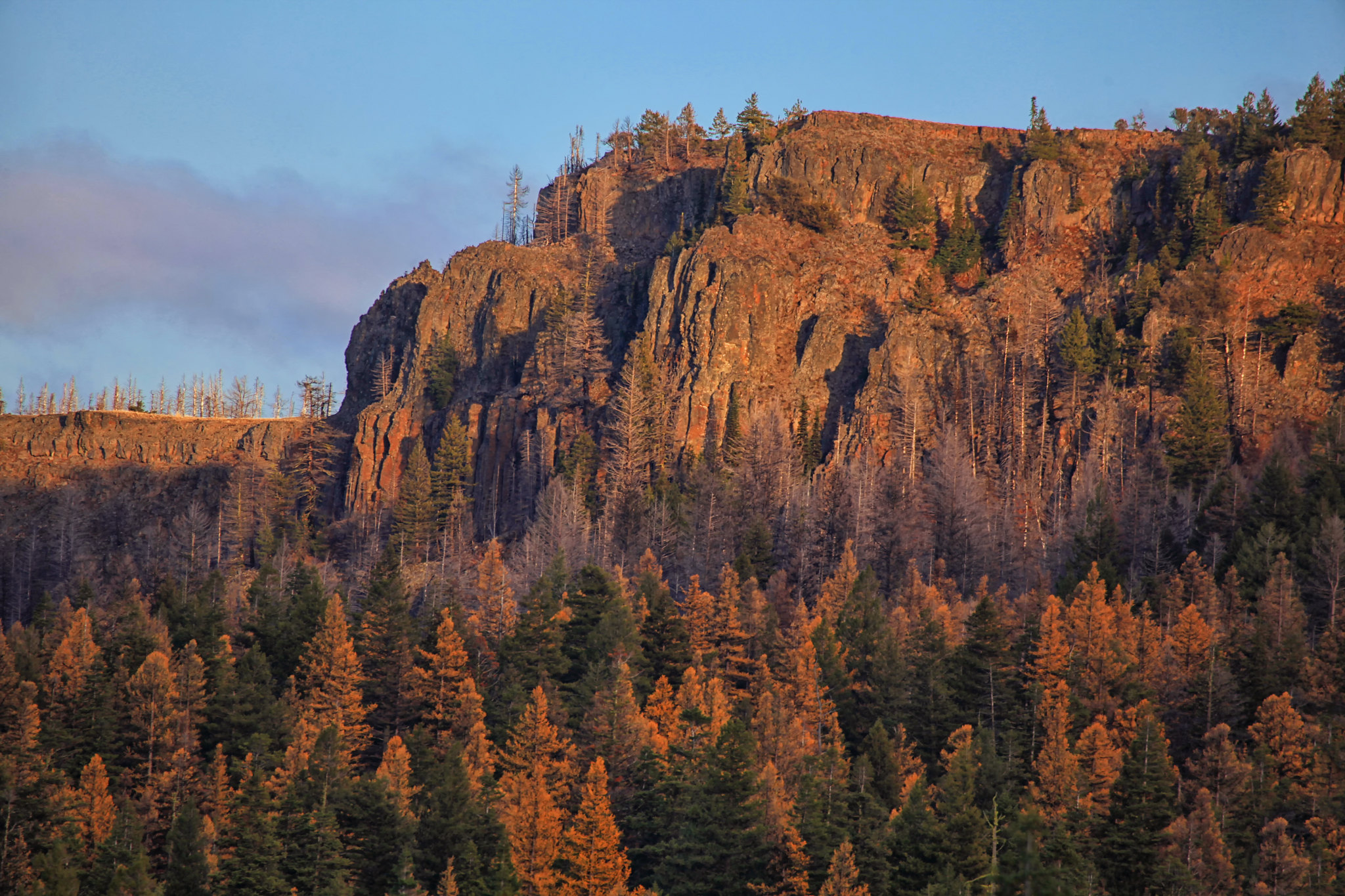
The Stein’s Pillar trail is an easy four-mile roundtrip hike, about 20 miles from Prineville, which climbs through old-growth forest and along steep ridges to the base of Stein’s Pillar, a 350-foot monolith of welded tuff, deposited during the collapse of the Wildcat Caldera, around 40 million years ago. The pillar can also be seen from a viewing area along Mill Creek Road.
Crooked River National Grassland

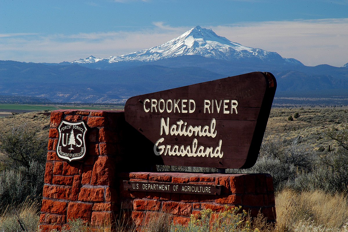
The Crooked River National Grassland is located in central Oregon, entirely within Jefferson County. Of 173, 629 acres encompassed by the Grassland boundary, 111,379 acres are under Forest Service administration. Other lands are privately owned or under the administration of the BLM, State of Oregon, or Jefferson County.
The Grassland is traversed from north to south by State Highways 26 and 97. West of Highway 97, the country is a high plateau interrupted by steep canyons of the Deschutes River and its tributaries. East of Highway 97, the terrain is rolling hills and buttes. Elevations range from 2,241 feet at Madras to 5,108 feet atop Gray Butte. Steep canyons border the major drainages, including the Deschutes and Crooked Rivers, and Squaw and Willow Creeks.
The Grassland lies within two subbasins of the Deschutes River drainage system: the Middle Deschutes River and the Lower Crooked River.
It is believed that the Grassland was originally vegetated with bluebunch wheatgrass and Idaho fescue, and some sagebrush, rabbitbrush, bitterbrush, and juniper. Because much of the area was cultivated and the native vegetation removed during the homesteading era, it is difficult to determine the original vegetation patterns.
The climate of the Grassland is typical for central Oregon. Annual precipitation averages 10.5 inches, but higher elevations may receive 19 inches or more per year. High intensity rain storms are likely to occur during spring and summer months. The growing season averages 100 days. Temperatures are moderate throughout the year and may fluctuate greatly between day and night. Frost may occur any day of the year.
The Island National Natural Landmark is located on an isolated plateau at the confluence of the Deschutes and Crooked rivers in east-central Oregon. This 208-acre site supports one of the best known and least disturbed examples of native juniper savanna located within the Columbia Plateau. The Island is also a designated Research Natural Area, and is jointly managed by the Bureau of Land Management and the U.S. Forest Service.

